 |
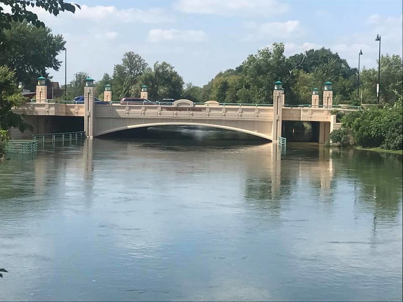
| I believe this picture came from here: https://cleanlakesalliance.org/ |
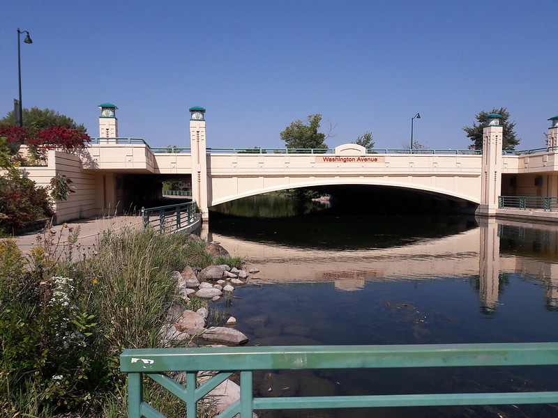
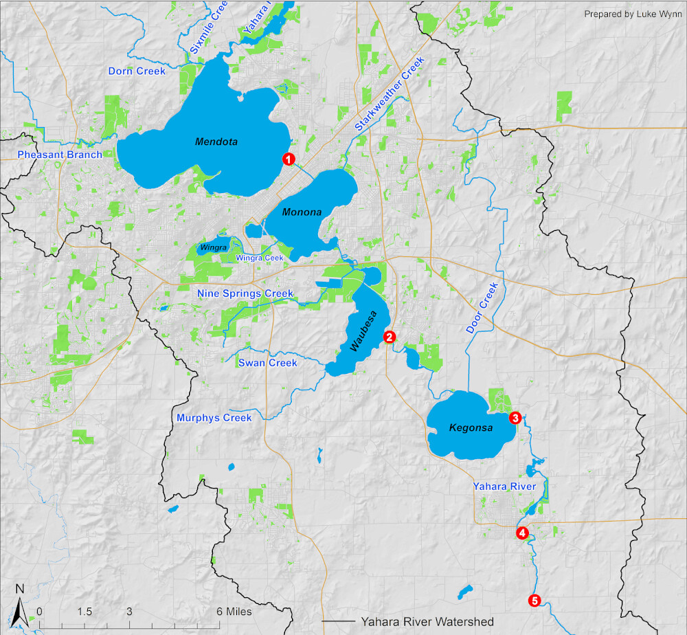
The Tenney Lock and Dam have been tested, but have held admirably. Lake Mendota drains through that lock and dam (1), into the Yahara River crossing the isthmus to Lake Monona. If the dam fails, this influx of water is what will flood many low parts of the isthmus and Lake Monona.
Lake Monona has gotten higher than it's ever been. It drains through another branch of the Yahara, one that has had to be weeded in the past because they slow the flow, directly into Lake Waubesa, which then has another lock and dam (2) before draining into Lake Kegonsa which also has a lock and dam (3) that then drains via a lengthy part of the Yahara River and a couple more dams (4,5) until ultimately flowing into the Rock River. That's the basics, and this is a map to help you visualize it easier if you're not from here.
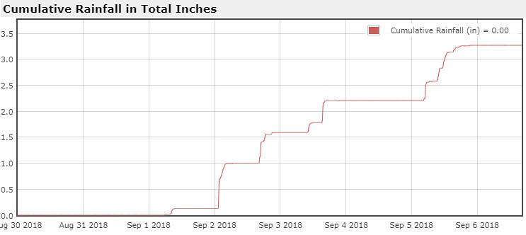
You can see how it will take time to let all that water flow. If we were to get any substantial amount of rainfall in a short amount of time, any similar deluge as before, anytime before winter we will be having perhaps much bigger problems. I should note that it has not rained since the last rain spell I posted of last week, and no real chance is forecast until later next week. I've been paying attention to the forecast a bit more these days.
There are reasons to keep the lakes high and reasons to lower them to natural levels, and proponents for each have been heard in this renewed debate, despite the problem at hand continuing and expected to continue until at least winter. I think they should be lowered below the level they've been kept despite the issues for boaters and pier owners. In time, all would adapt. Then the next time something like this happens there will be the capacity to hold and handle the flow of water without flooding. Seems so obvious, why doesn't it just happen? [Insert political crap here.]
 |
| Random green fire pit picture. |
Pictures and comments after the break!
*Originally titled with IV instead of VI - sorry!
