The lakes had been high all summer so far, see
my pic from earlier this year here, then on August 20 western Dane County received the worst of a rainstorm and got 10-15 inches. Surrounding areas, including us, also got many inches of rain but the double digits got the headlines. Much of that water flowed to the Wisconsin River and much of it flowed to the Yahara chain of lakes, starting with Lake Mendota.
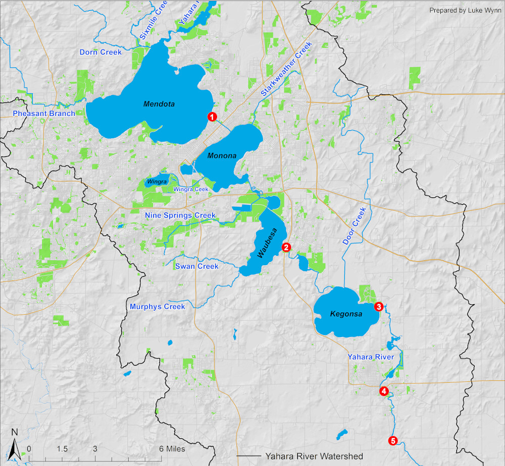
The Tenney Lock and Dam have been tested, but have held admirably. Lake Mendota drains through that lock and dam (1), into the Yahara River crossing the isthmus to Lake Monona. If the dam fails, this influx of water is what will flood many low parts of the isthmus and Lake Monona.
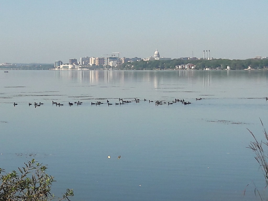
Lake Monona has gotten higher than it's ever been. It drains through another branch of the Yahara, one that has had to be weeded in the past because they slow the flow, directly into Lake Waubesa, which then has another lock and dam (2) before draining into Lake Kegonsa which also has a lock and dam (3) that then drains via a lengthy part of the Yahara River and a couple more dams (4,5) until ultimately flowing into the Rock River. That's the basics, and this is a map to help you visualize it easier if you're not from here.
You can see how it will take time to let all that water flow. If we were to get any substantial amount of rainfall in a short amount of time, any similar deluge as before, anytime before winter we will be having perhaps much bigger problems. I should note that it has not rained since the last rain spell I posted of last week, and no real chance is forecast until later next week. I've been paying attention to the forecast a bit more these days.
There are reasons to keep the lakes high and reasons to lower them to natural levels, and proponents for each have been heard in this renewed debate, despite the problem at hand continuing and expected to continue until at least winter. I think they should be lowered below the level they've been kept despite the issues for boaters and pier owners. In time, all would adapt. Then the next time something like this happens there will be the capacity to hold and handle the flow of water without flooding. Seems so obvious, why doesn't it just happen? [Insert political crap here.]
 |
| Random green fire pit picture. |
I got out for a bike ride today, just down to the lake and back, less than an hour overall but my joints are feeling it now (and the reason I didn't go yesterday). I got some good pictures to share, the first few are from a bike ride the other day and the rest are from this morning - except for one picture I stole a screenshot of from goggle maps. It shows the rocks that should normally be visible on the sides of this stretch of Starkweather Creek. Since they lakes have been kept overly full the last couple years a cursory search didn't find a similar picture in my albums of the last couple years. But I have posted pictures of this and these other places in the past so you can
seek them out for before and after shots if you wish.
Pictures and comments after the break!
*Originally titled with IV instead of VI - sorry!
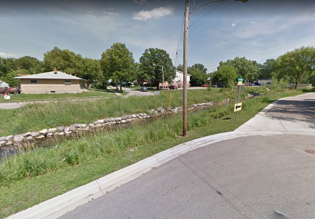 |
| This picture is from google maps, dated June 2011. Normal levels of the creek shown. |
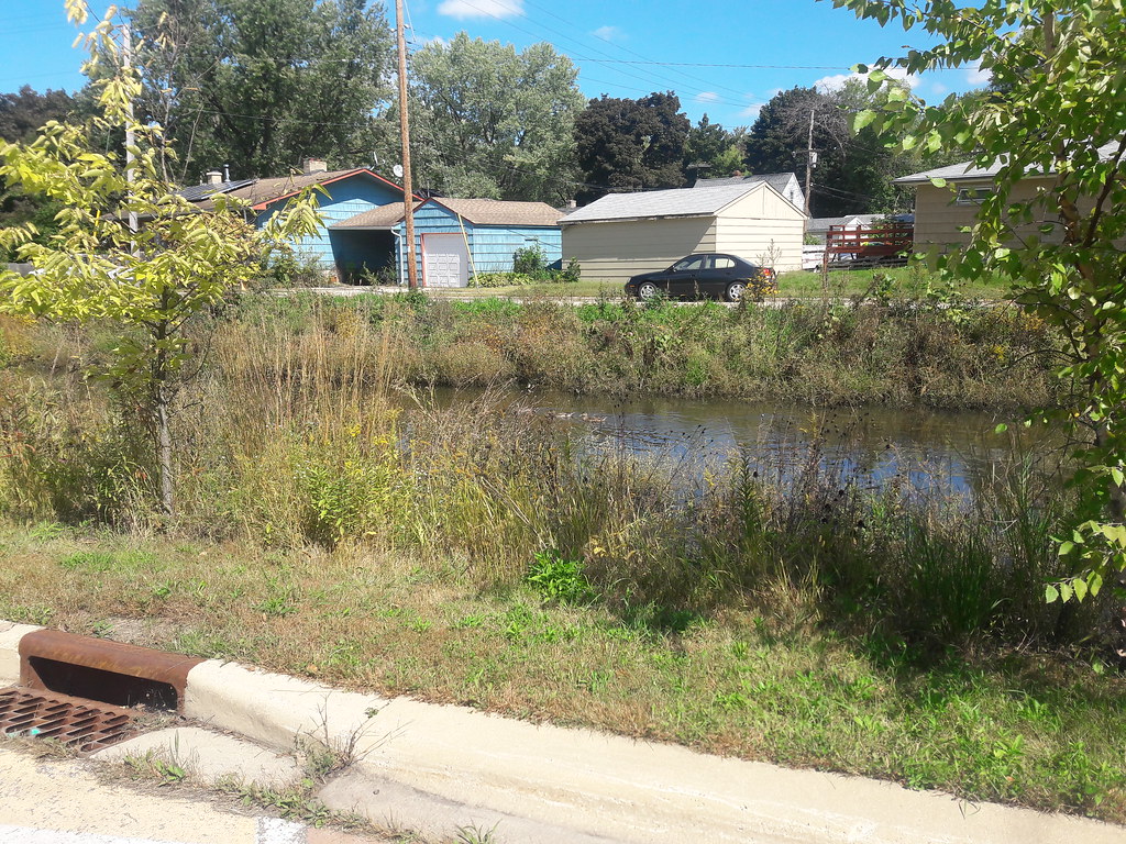 |
| Taken 2 days ago from about the same spot, just facing more east across the creek. See the ducks? |
 |
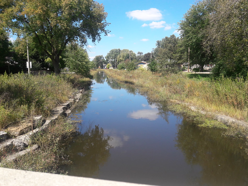
| This is from a few blocks north looking back south. |
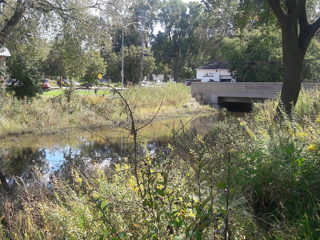 |
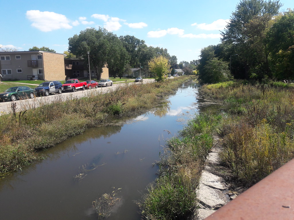
| Again, the view of the Milwaukee Street bridge, from Wednesday. No canoes or kayaks under these bridges anymore. |
 |
| Again Wednesday, looking back north from the Milwaukee Street bridge. |
The next set of pictures is all from this morning's bike ride.
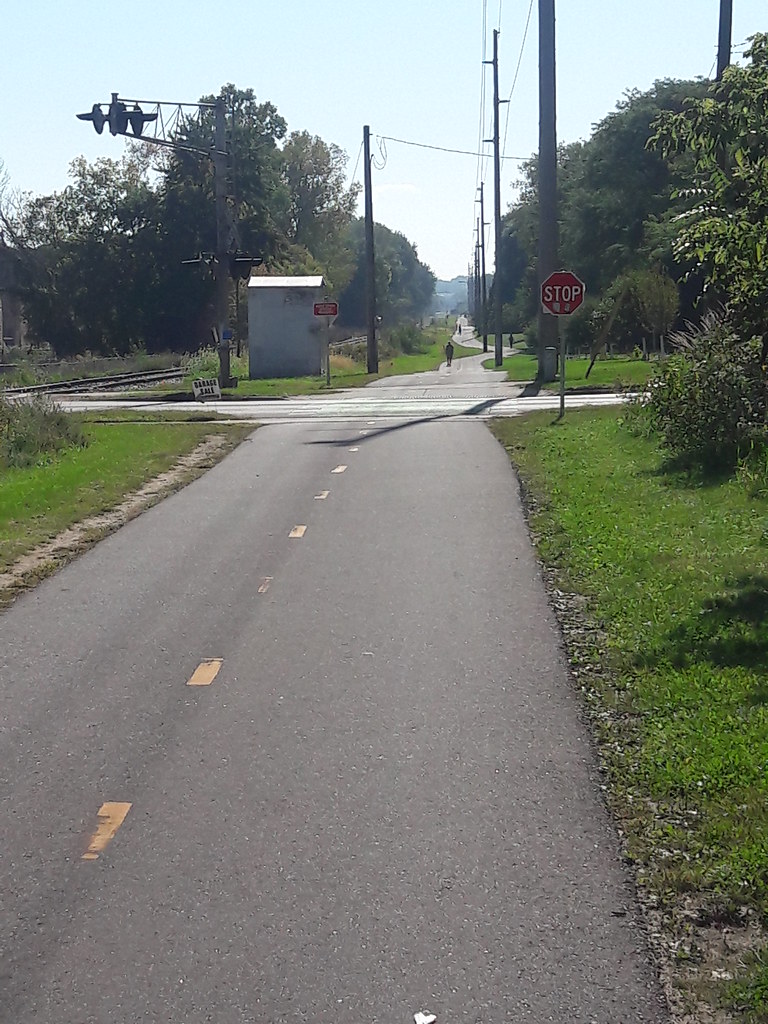 |
| On the eastern branch of the Capital City Trail at Fair Oaks Ave. A nice stretch to ride. |
 |
| Starkweather Creek facing south behind Olbrich Botanical Gardens. |
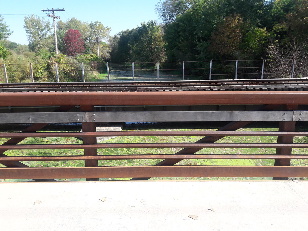 |
| Same spot as above but facing north. Hard to see here under the railway bridge, but clearance is only inches. |
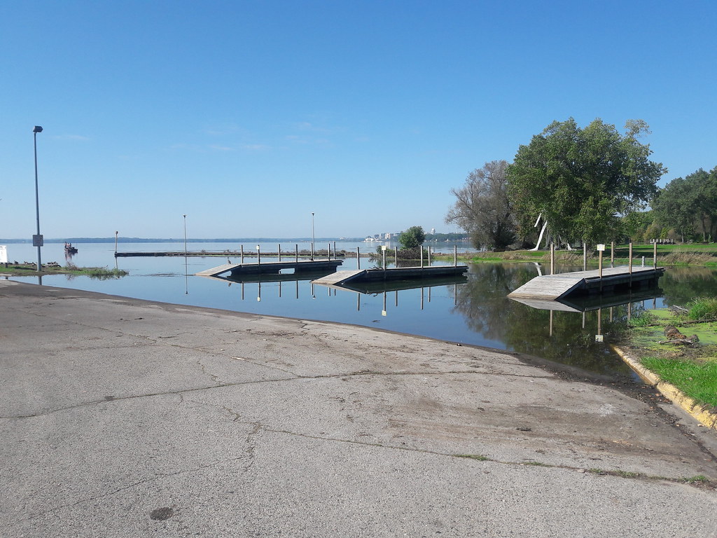
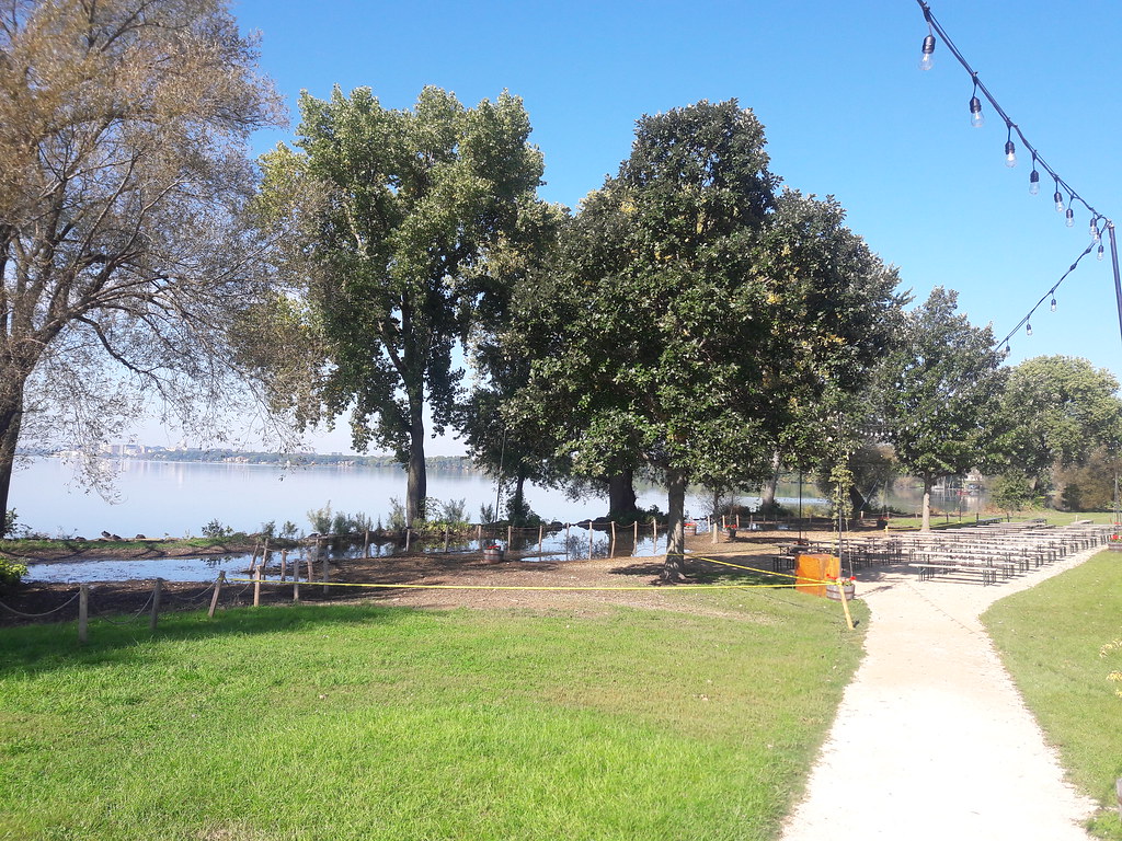 |
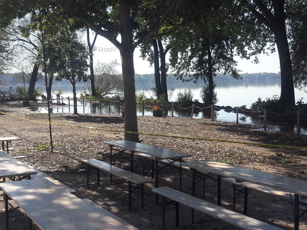
| The Olbrich Biergarten has had its space halved. |
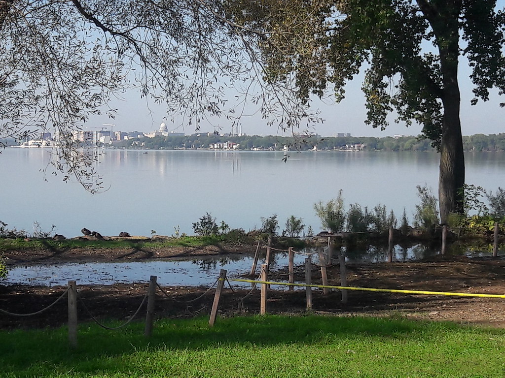 |
| Pictures of the lake that I took last winter were from around where the ducks are here. |
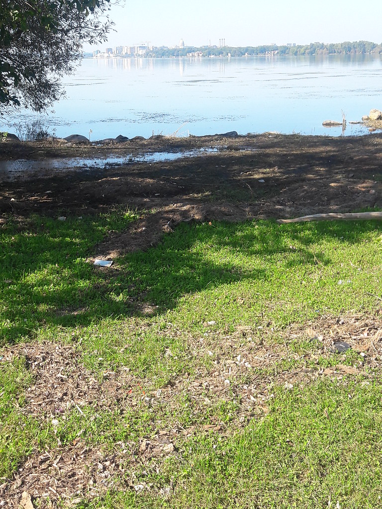 |
| It's easy to see how far the waters encroached, as much as 50 feet inland in spots. |
 |
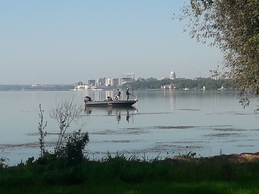
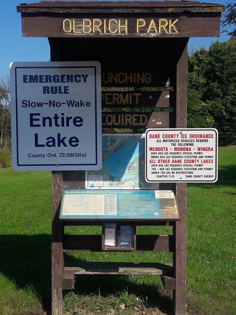
| This is the outlet of Starkweather Creek into Lake Monona, the Olbrich boat ramps. The piers float, but the walkways are usually much drier. |
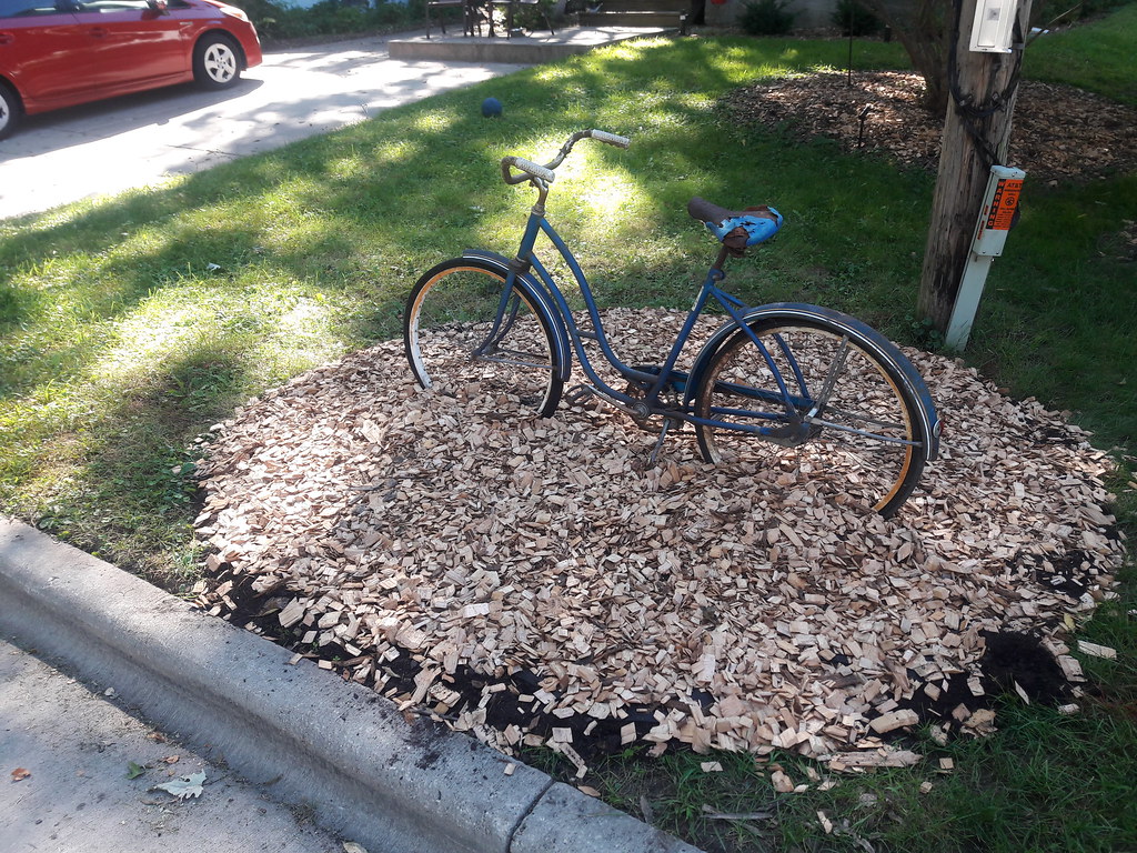 |
| On the way home the bike path goes along the street for a bit. This is someone's new art project/display in their front yard. I like the idea! |


2 comments:
All you've been talking about makes a lot more sense now. Thanks for taking the trouble to put this together.
Thank you, Blue Witch. I learned more myself these last few weeks and if I'm gong to write about it I thought it best to give the bigger, overall picture. Not just for you, but also for my local friends and family (mostly email readers - they rarely visit this actual website).
The debate continues in the local headlines again today. This will be a lengthy process so my little flood mini-series is probably done for now unless anything changes - like actual legislation or more rain and flooding.
Post a Comment